
Haryana to map all government hospitals, health centres on One Digital Platform
 The Standard Desk
Published
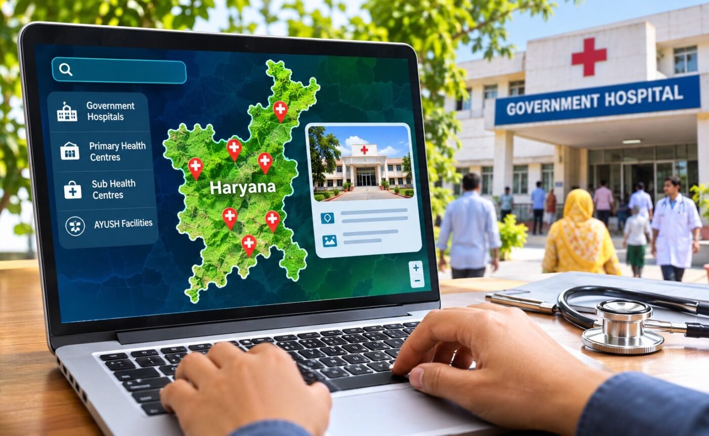
Chandigarh. Haryana is preparing to map its entire government healthcare network on a single digital platform, bringing hospitals, primary health centres, sub-health centres and AYUSH facilities onto an interactive map that will allow citizens to access their locations, basic details and photographs online.
The initiative will combine healthcare infrastructure data held by the Health, AYUSH and Medical Education and Research (MER) departments, replacing fragmented departmental records with a common Geographic Information System (GIS) database. The platform is also expected to help the state identify gaps in healthcare infrastructure and improve planning for new facilities and upgrades to existing ones.
Dr Sumita Misra, Additional Chief Secretary, Health and Family Welfare, reviewed the progress of the mapping exercise at a meeting on Sunday, where officials presented GIS data covering healthcare facilities across Haryana. She stressed the need to consolidate Health Department records on a common platform and make the information publicly accessible wherever feasible.
Once made available to the public, the platform could help residents locate government healthcare facilities and check basic information about them without having to navigate separate departmental records. However, the government has not specified a launch date or confirmed when the public interface will become operational.
For the administration, the mapped database is intended to provide a geographical overview of healthcare infrastructure across urban and rural Haryana. Officials could use the information to assess the distribution of facilities, identify underserved areas and make more informed decisions on infrastructure investment, service delivery and monitoring.
The exercise covers institutions under three departments, bringing different streams of public healthcare under a common information system. This could help authorities assess the availability and geographical spread of conventional medical facilities alongside AYUSH institutions while coordinating infrastructure planning across departments.
The Haryana Space Applications Centre (HARSAC), the state’s nodal agency for remote sensing and geospatial applications, will provide technical support for managing the GIS database. Its representatives assured the Health Department that the agency would help maintain the database and facilitate the sharing of relevant information with other state government departments.
Interdepartmental access to the mapped information is expected to support decisions on healthcare infrastructure development, improvements to existing facilities and administrative oversight. A common database could also reduce dependence on separate departmental records when officials assess facility locations and their basic infrastructure profiles.
The initiative places geospatial technology at the centre of healthcare planning, extending its proposed use beyond locating hospitals and health centres to assessing infrastructure distribution across the state. Its effectiveness will depend on the accuracy and regular updating of facility records, coordination among departments and the extent to which information is made accessible to the public.
While the government has outlined the intended uses of the platform, details on its public launch, data-update schedule and additional features have not yet been announced.



Comments